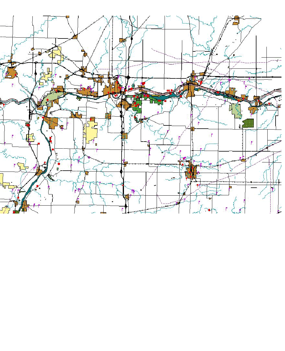
The Heart of Illinois Highway Feasibility Study (1995) was conducted to examine potential corridor locations for a new freeway or expressway between Chicago and Peoria. The study area covered over 3,000 square miles encompassing rural and metropolitan areas within ten counties as well as scenic and environmentally sensitive regions along the Illinois River. The feasibility of corridor alternatives was based on economic and acceptable environmental impacts. The Addendum to the Study was conducted to evaluate environmental impacts on additional highway corridor alternatives.
As a sub-consultant to CH2M Hill, Canete Medina (formerly cmQue, inc.) evaluated environmental impacts of additional highway corridor alternatives using a geographic information system (GIS). The GIS was developed as a decision support tool in the location of a major highway corridor between Peoria and Chicago and was utilized for environmental analysis, location engineering, origin-destination study (including geocoding of O-D surveys), and developing presentation graphics for public meetings. In the analysis, Canete Medina assessed impacts of corridor alternatives on farmland, conservation/ natural areas, threatened and endangered species, parklands, woodlands, cultural resources, hazardous waste sites, and mining areas. Isabel Cañete-Medina was responsible for developing the GIS database for this project while working for previous employer.
Year Completed: 1995